Preparing the Bay Area FOR a COMING MEGA-STORM
(Bay Area Council Policy Director Adrian Covert wrote the following piece for the San Francisco Chronicle)
California is today learning a hard lesson about inadequate drought preparation. But if California’s hydrological record teaches us anything, it’s that extreme droughts tend to be followed by extreme floods—the flip sides of our meteorological coin.
Whether or not the strengthening El Nino delivers a drenching blow, experts are clear that we are long overdue for an extreme storm, a West Coast version of Superstorm Sandy or Hurricane Katrina. The Texas example is particularly worrisome, as that state’s four-year drought was abruptly ended last winter by disastrous flooding that left dozens dead. And yet, we in the Bay Area have done little to invest in the infrastructure necessary to blunt the catastrophic impacts of such an event.
The good news is that a big part of what’s needed to defend the region against Bay flooding—healthy wetlands—will also improve the Bay ecosystem. That’s why the Bay Area Council is partnering with a number of environmental, government and business organizations on a regional initiative to prepare the Bay Area for the coming storm, and improve the environment while we’re at it.
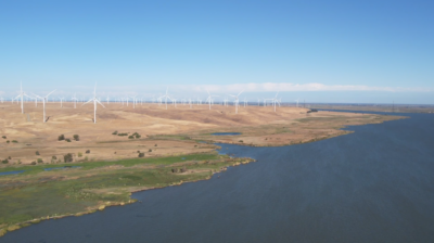
Today, over 30,000 acres of salt ponds and diked shoreline from Sonoma to Santa Clara are already owned by public agencies and ready to be restored into wetlands. Healthy wetland habitat has been shown to absorb tidal energy and reduce flood risk.
To that end, the Bay Area Council and our partners are readying a 2016 region-wide ballot measure that will ask voters to approve a modest, $12 parcel tax to bolster our waterfront defenses. These funds could provide huge benefits to the Bay ecosystem while improving public access and protecting our homes, businesses and critical infrastructure. A poll conducted this past spring by Fairbank, Maslin Maullin, Metz & Assoc. found 70 percent of Bay Area voters supported such a measure.
Let’s be clear: cost of inaction is extremely high. California is vulnerable to prolonged periods of heavy rainfall, elevated tides and gale force winds known as “atmospheric rivers.” These storms can bring flooding on a biblical scale. The great flood of 1862 brought rain to Northern California for 43 days straight, transforming the central valley into an inland sea, destroying Sacramento and bankrupting the state.
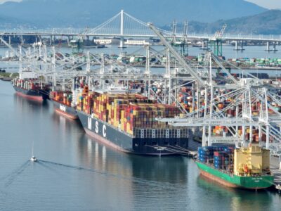
What would happen in the Bay Area today? A March 2015 study by the Bay Area Council Economic Institute – Surviving the Storm – estimates that a mega-storm would conservatively wreak $10.4 billion in damages on the Bay Area. That’s about the same as the Loma Prieta earthquake.
Surviving the Storm models a significantly smaller storm than 1862, but larger than anything seen since. Ten days of torrential rain would grind daily life to a halt. Local rivers and creeks would swell beyond anything seen since the Gold Rush. Air travel would stop and major roadways would be blocked. The San Francisco Bay, elevated by low barometric pressure, storm surge, and a king tide, would overtop local levees like a clogged sink, resulting in widespread flooding. Add sea level rise, and this existing problem is going to get much worse.
While virtually every coastal city on earth is grappling with the impact of sea level rise and climate change, the Bay Area has both the natural and human assets to lead the response. Our overall hilly landscape and the Golden Gate help limit the region’s overall vulnerability, while our intellectual, financial and political resources are unrivaled. With a little investment and preparation, we can step back from the brink.
Visit www.ourbayonthebrink.com to learn about the risks facing the bay, and access shareable resources to help spread the word.


